

Posts with tag 'Sisters'
Subscribe and receive email notifications of new blog posts.
 RSS Feed
9
Alder Springs is a Central Oregon High Desert Hike Outside of Sisters
Alder Springs Flows Into Wychus Creek
The hike to Alder Springs outside of Sisters limits motorized access from December 1st through March 31st to protect the winter rangeland of the local deer populations. However, access to the trail head is on rough dirt roads for which 4 wheel drive and high vehicle clearance is recommended. Directions to the official trail head can be found on the USDA website. The "unofficial" route involves travel on Locust Street (Camp Polk Road) in Sisters 3.1 miles north from East Cascade Avenue. Take this to Wilt Road, staying on Wilt when the pavement ends 4 miles. Past Rimrock Ranch the road is less maintained. Travel another 2.2 miles until you see a sharp unmarked turnoff to the right onto a rough dirt road. The weekend of April 5, 2025 this road was almost impassible with deep rutted mud which required challenging driving to get through. Travel on this past a gate until you reach a picnic area next to Whychus Creek which provides for a water crossing during dry times of the year. There is a beautiful mesa above the crossing and signage for a Native American archaeological site.
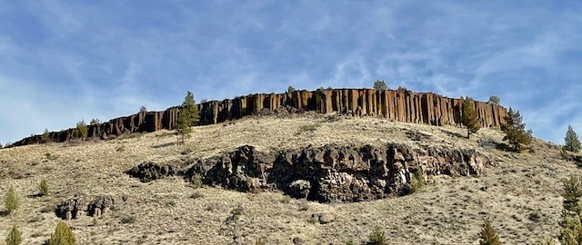 The early stages of the hike involves traveling next to the creek for a mile, the narrow path following the slope and involving short stretches of climbing followed by level areas. After a mile, the path steepens and hikers travel up the canyon slope and traverse above the river, with several areas close to the steep canyon cliff. Hikers should be careful here. In addition, the open high desert landscape with scattered juniper trees, sagebrush and fescue grass has limited shelter and sun exposure can be an issue with on warm summer days.
After 4.5 miles, the path drops into the bend of Wychus Creek which also contains Alder Springs. The traditional hike following the Ochoco National Forest website to Alder Springs meets here. Those who hike the recognized path have to wade across Wychus Creek here. In April 2025, the creek was full with the heavy winter snows just starting to melt.
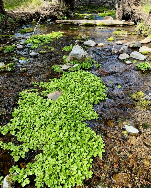
Alder Springs itself is a beautiful oasis of water bubbling up from the ground flowing into Wychus Creek, surrounded by deciduous trees and dogwood, with Seep Monkeyflower growing in bunches on limited higher ground in the springs.
 |
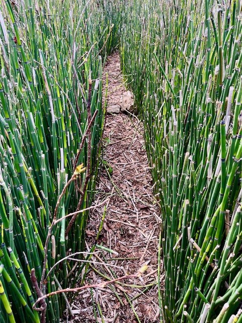 |
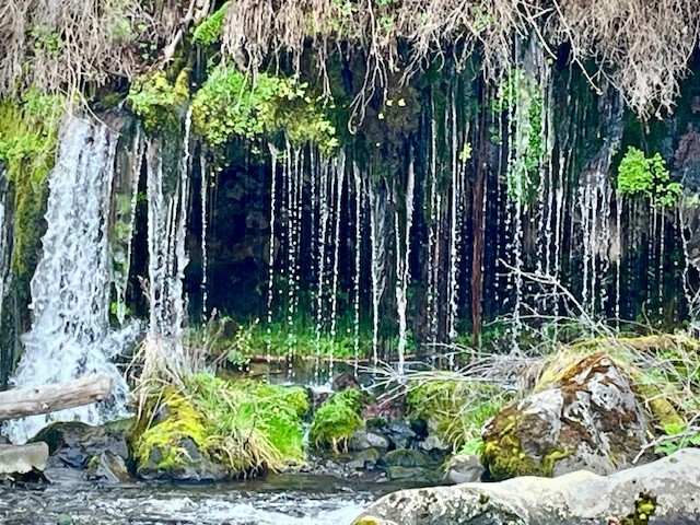
For those who wish to hike the mile and a half to the confluence of Whychus Creek with the Deschutes River, the trail has much heavier vegetation. With few people hiking this area, there are sections of the trail overgrown and hikers have to look out for both rocks which can trip people and branches which can hit heads and bodies. Part of the trail goes through a grove of horsetail. Just before reaching the confluence, there is a beautiful weeping wall with a spring of water flowing into Whychus Creek, resembling a waterfall. Hikers have to know to look for this as access to the view has heavy vegetation and it is difficult to maneuver through this.
At the confluence, beautiful rock canyon walls and a welcoming rock overlooking both rivers make for a great lunch spot. In April 2025 the water levels were very high, higher than seen in earlier years. All in all, the full hike is over 11 miles with just over 1000 feet of gradual elevation gain.
 |
 |
30
Hiking Tam McArthur Rim to No Name Lake in Fall is an Experience
Cascade Mountain Hikes in Fall Can Have Unexpected Weather Conditions
Hiking in the Oregon Cascades in the fall can offer amazing experiences with stunning views, early snow, fall colors, and no need for forest passes. However, the weather can also change suddenly and hikers need to be prepared.
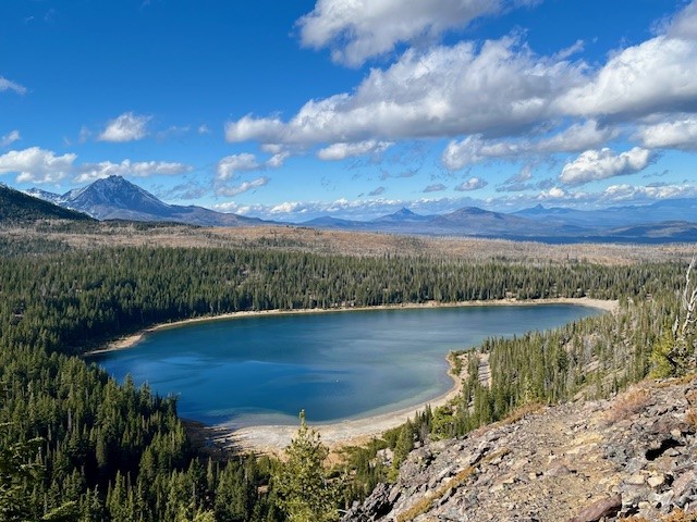
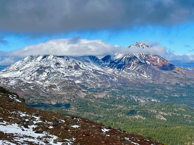
On October 26, 2024, the hike from Three Creeks Lake to Tam McArthur Rim began with low clouds covering the Cascades. The hike up from the trailhead (the sign was already covered for winter), to the rim experienced some wind, although much of the early part of the trail was in sheltered forest. Once reaching the rim, the winds really picked up, but the clouds also lifted so that the mountains (Broken Top, The Three Sisters, Mt Washington, Three Fingered Jack) could be seen.
 |
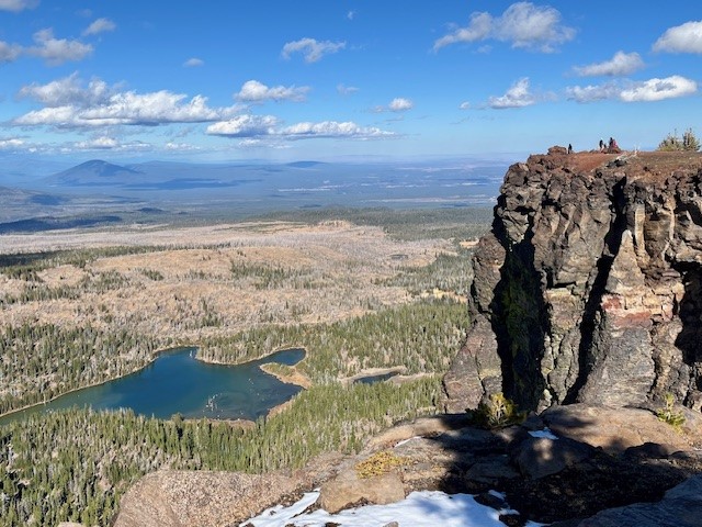 |
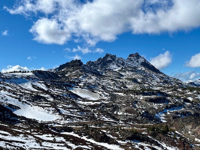
Typically the unmaintained trail from Tam McArthur Rim to Broken Top and No Name Lake is fairly simple until hikers reach the cinder rim which is traversed before getting to Broken Hand. On October 26, the clouds lifted and the wind picked up. For those not prepared for wind chill, the gusty winds would have really impacted comfort. Hiking below Broken Hand rather than across the face made a lot of sense as the wind was getting even more fierce. Upon reaching the ridge overlooking No Name Lake, the wind was extremely strong and it was difficult to even stand; anything loose would have been blown off the ridge. Getting a few pictures and returning to a more sheltered space behind a rock outcropping made sense, as well as drinking hot drinks before attempting the trek back. Very few people traveled this hike to Broken Top this day, although upon returning to Tam McArthur Rim, there were a good number who had reached the rim in the afternoon once the weather warmed a bit.
Anyone who hikes in the Cascades in the fall needs to be prepared for changing weather and unexpected situations. But for those who do, the rewards can be amazing.
 |
 |
11
Central Oregon Real Estate Market Trends - Third Quarter 2024
Is Central Oregon Real Estate Moving to a Balanced Market?
In Q3 2024, the Bend Oregon Real Estate market and surrounding communities experienced a change, moving closer to a balanced market after many years of being a seller's market. The number of listings grew, days on market increased, but prices appear to have leveled off, at least within Bend and Redmond. In Bend, Redmond, Powell Butte and Black Butte Ranch, the number of sold homes increased as third quarter 2024 also saw mortgage interest rates drop. Outside of Redmond and Sunriver, all of the Central Oregon real estate markets saw an increase in new listings year over year, many above 20%. This can partly be attributed to sellers recognizing that with lower mortgage interest rates, the cost of their replacement property would be less and the delayed move they planned on taking could finally happen.
4
Canyon Meadow Hike is a Great Way to Explore Three Fingered Jack
Canyon Meadow is a Permitted Hike in the Mt Jefferson Wilderness
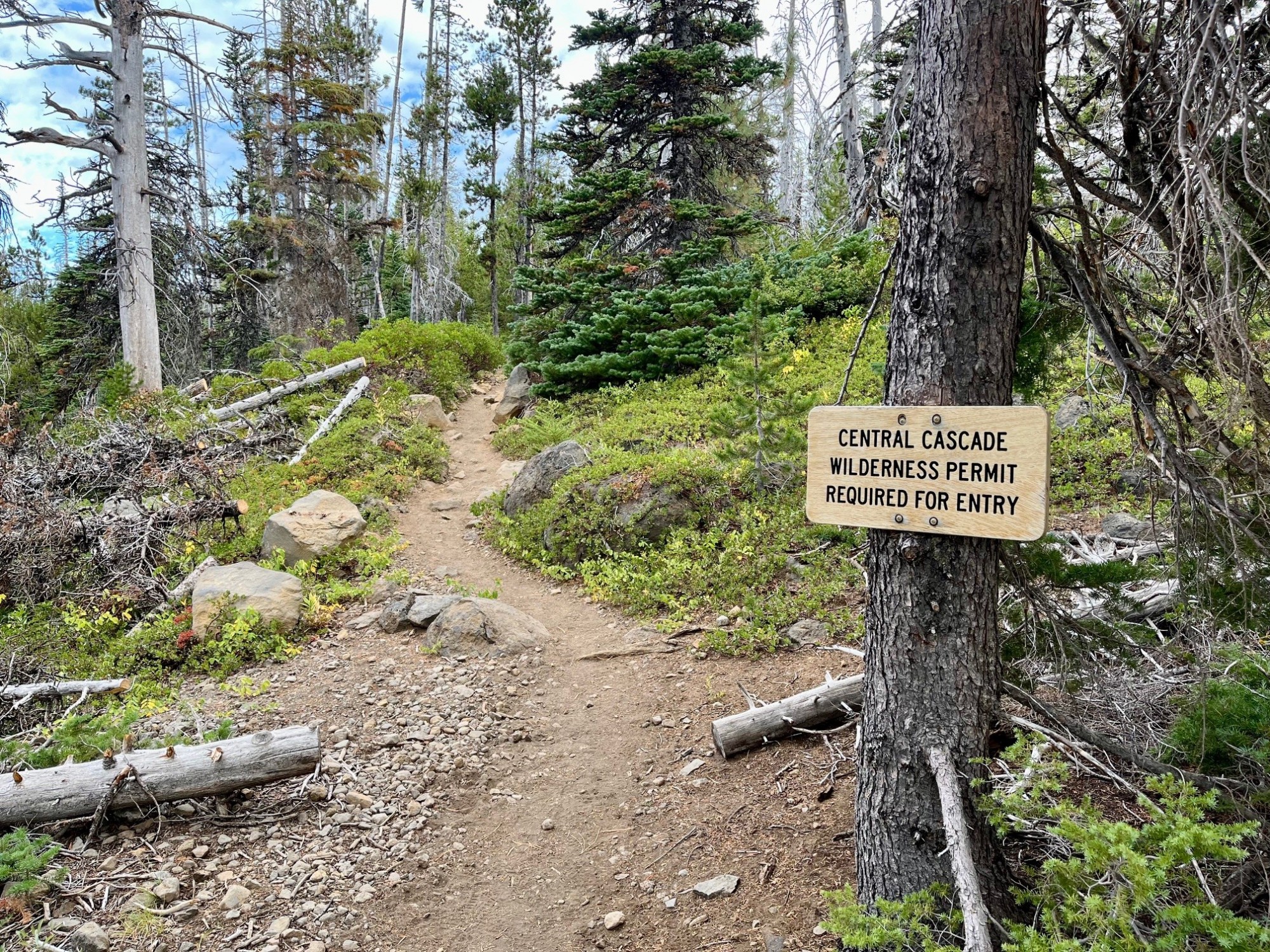
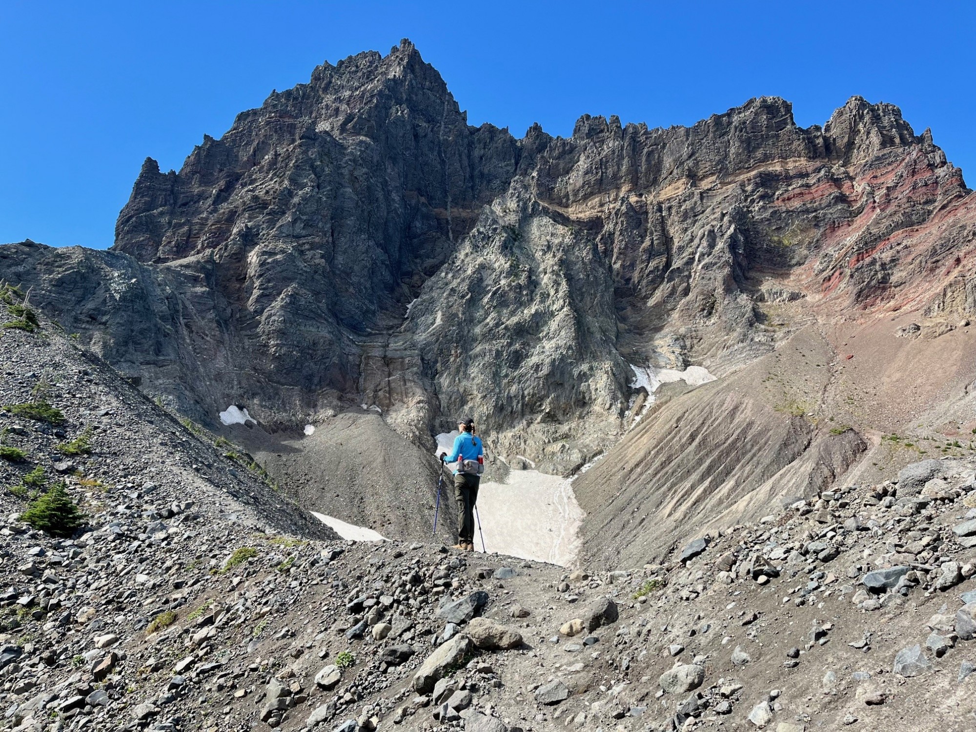
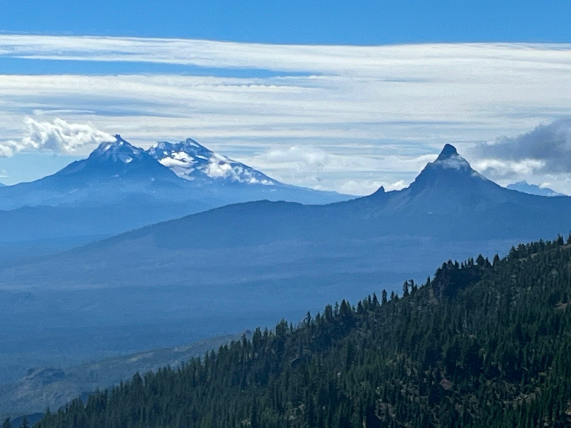
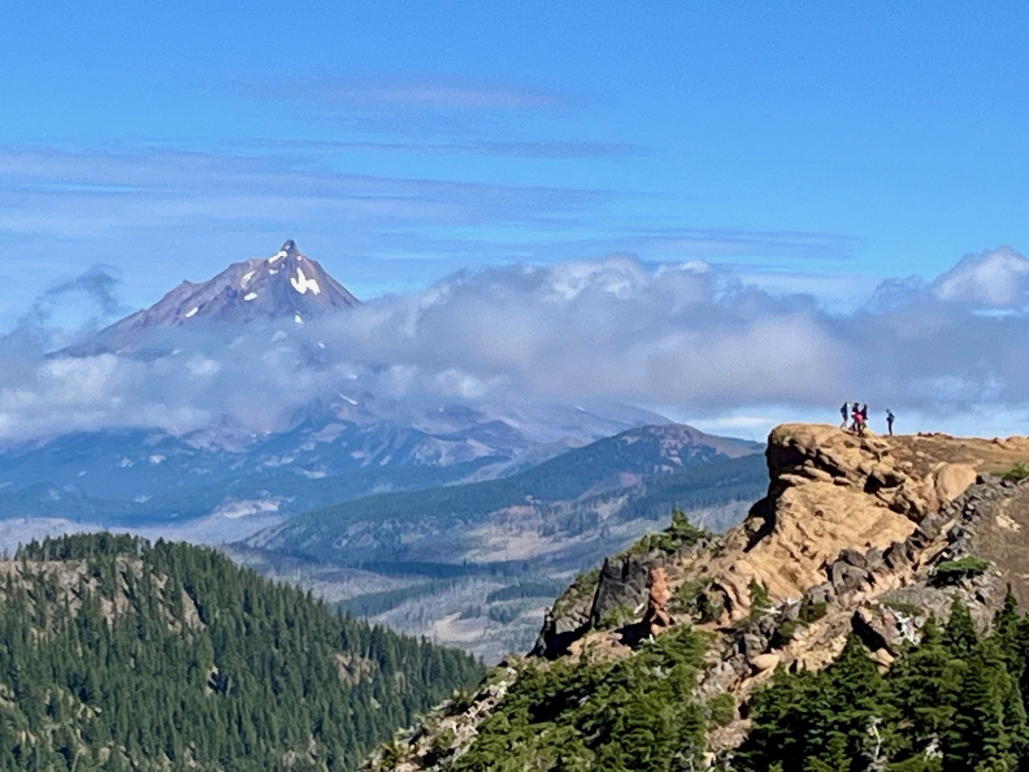
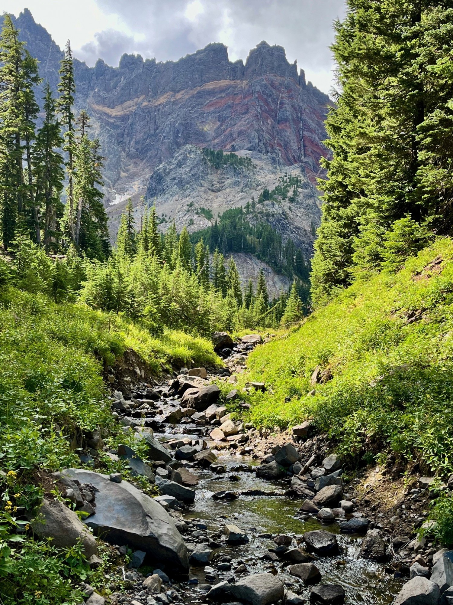
Canyon Meadow is a relatively easy hike in Central Oregon if limited to just the meadow loop which takes trekkers through burned forest, old growth forest and the meadow back to the beginning at Jack Lake. However, many will take the one way climb past the meadow up to the base of Three Fingered Jack. This adds significant elevation gain as well as beautiful views of Three Fingered Jack, sometimes including mountain goats and technical climbers on the craggy top of the mountain. For those adventurous enough to climb the loose rock and pumice past the glacial lake onto the ridge separating Three Fingered Jack from the nearby unnamed hill, the views south toward the Three Sisters and Mt. Washington and the views north toward Mt. Jefferson are spectacular.
 |
 |
 |
 |
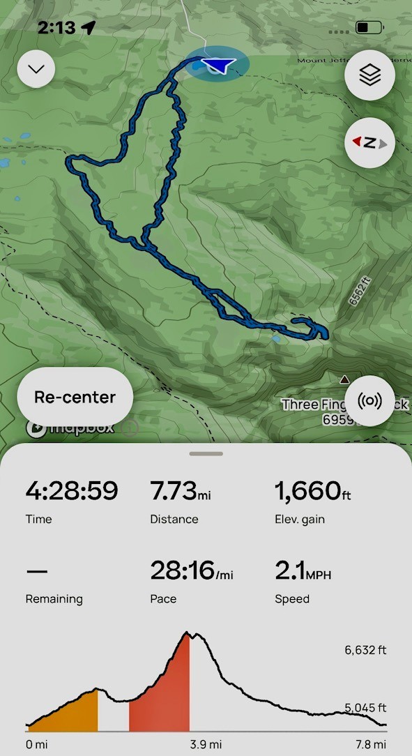
Scrambling down the loose scree from the view points takes time, and trekking poles can be very helpful. Once the difficult section of the hike is passed, people can return the way they had come, or for a difference experience they can hike down the meadow following the stream that flows from the moraine holding the glacial lake. During certain times of the year, this path can be through acres of lupine dominated wildflowers. For those who take the entire Canyon Meadow loop as suggested, the trip results in over 1600 feet of elevation gain and under eight miles in length.
 |
 |
4
Take the Climbers Trail to Middle Sister and See Sights Few Experience
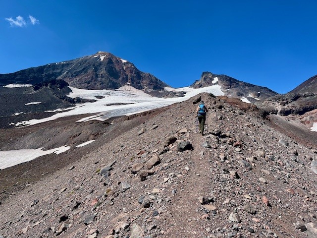
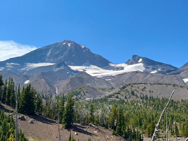
If you are one of the people who love to climb mountains, you are probably familiar with the climber's trail which provides the established way to summit North Sister in the Oregon Cascades. For those not that ambitious but who love a long day hike, taking the trail part way will enable hikers to have amazing Cascades views plus close up access to Hayden Glacier on Middle Sister.
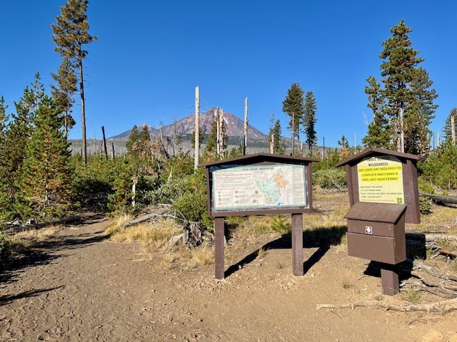
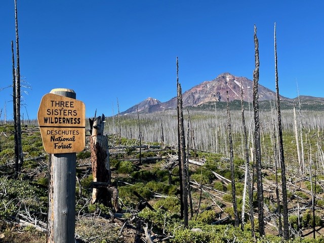
The route to Hayden Glacier starts at the Pole Creek Trailhead. This is the same trail that is taken to reach Camp Lake which provides for wonderful access to the north facing slopes of South Sister. The first 3.5 miles is through the burned forest of the 2012 Pole Creek fire, but after leaving burned woods, the trail enters healthy forest and the trek is shaded. Before hikers reach the North Fork of Whychus Creek, an unmarked trail intersects the main path. Climbers take this path (which has an optional loop up and back) to access the hike to summit North Sister.
 |
 |
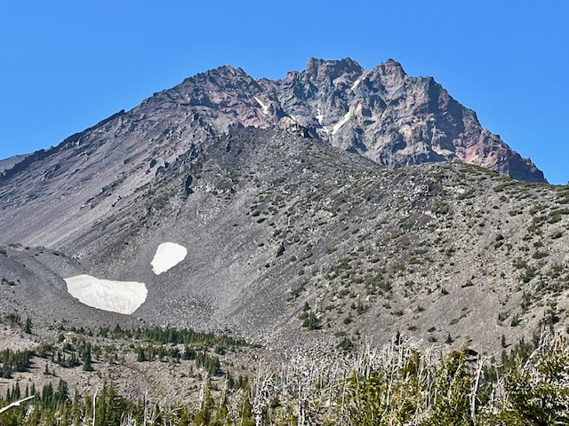
The climbers' trail gains elevation quickly as hikers walk up the lower slopes of Middle and North Sister. The first mile or so remains in shaded forest, but as hikers gain elevation, they leave forest and start walking through the jumbled rock and ash of multiple moraines. At one time these were filled with glaciers, but these have mostly melted, leaving behind the steep gullies and loose stone scrapped off the mountains over thousands of years. Climbing up the moraines can be difficult, but coming down is harder as it is easy to slip on the loose stone.
 |
 |
For those who do continue the technical climb up North Sister, it is recommended this be done in a group with people who really know what they are doing. For those of us who just enjoy a great, long day hike, the option to travel to Hayden Glacier is one very few do and it can be very rewarding. The entire trip, including the loop up and back the climber's trail, is under 3000 feet of elevation gain and less than 13 miles back to the Pole Creek Trailhead.
Privacy Policy / DMCA Notice / ADA Accessibility


